Project:
client:
Activities:
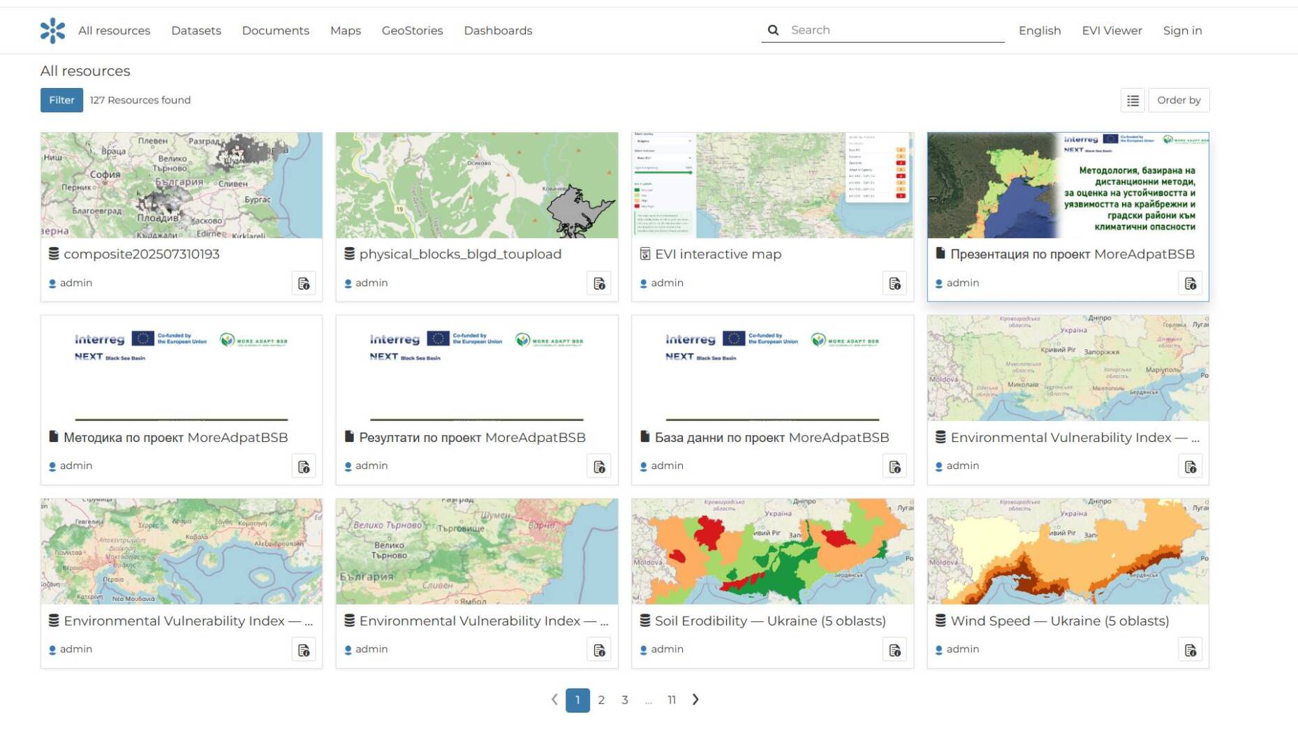
Development of a web-based geoportal and spatial data catalog within the framework of the international MoreAdaptBSB (Less Vulnerability, More Adaptability) project, funded under the Interreg NEXT Black Sea Basin Programme.
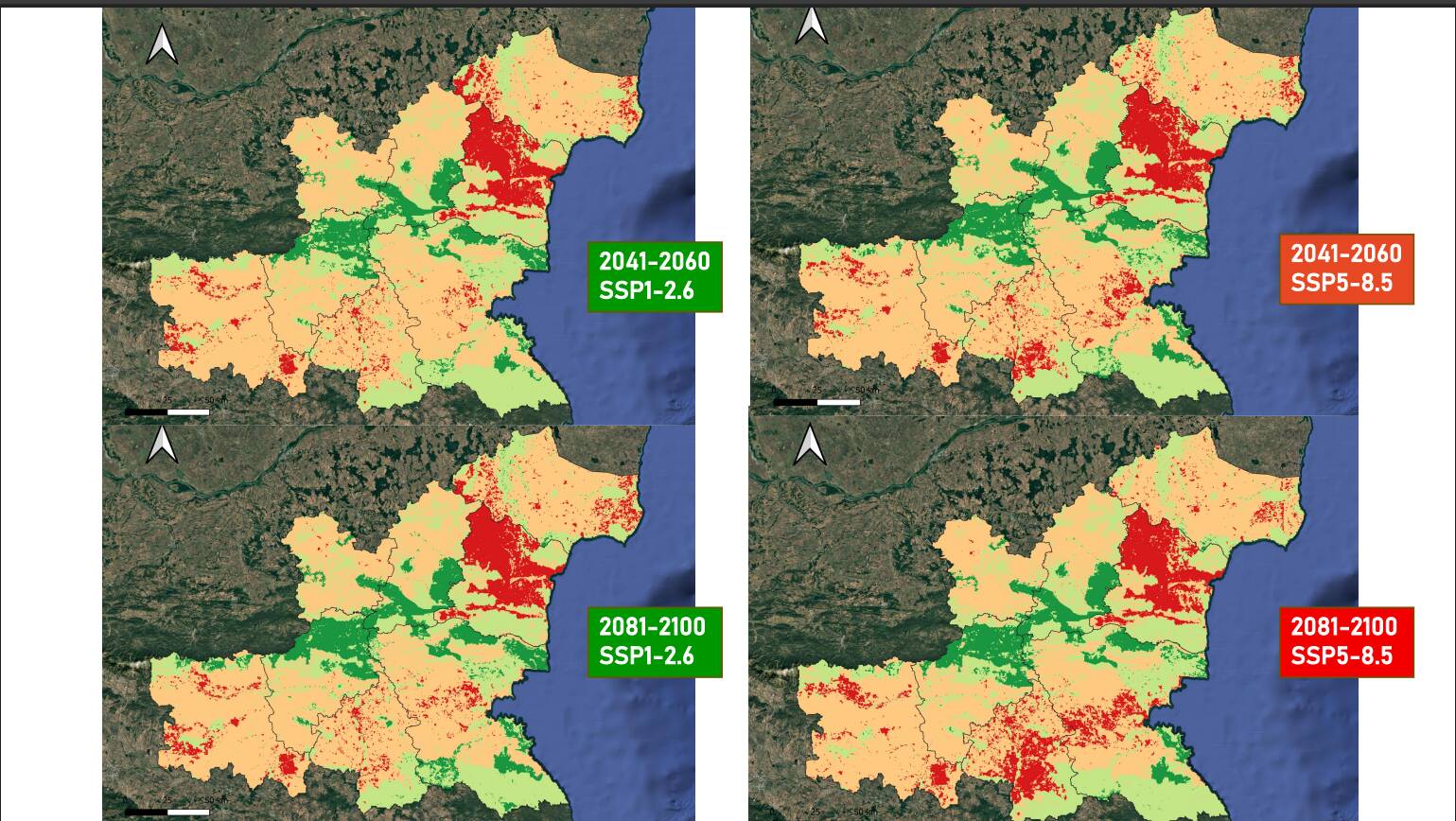
The project aims to support climate change adaptation through the restoration of green spaces, the use of remote sensing technologies, and the application of modern geospatial technologies. The consortium brings together partners from Bulgaria, Romania, Greece, and Ukraine.
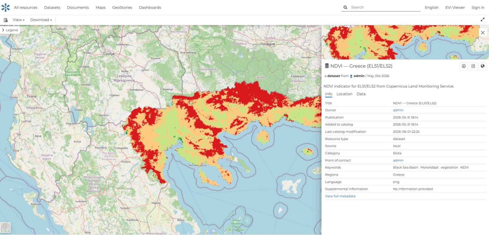
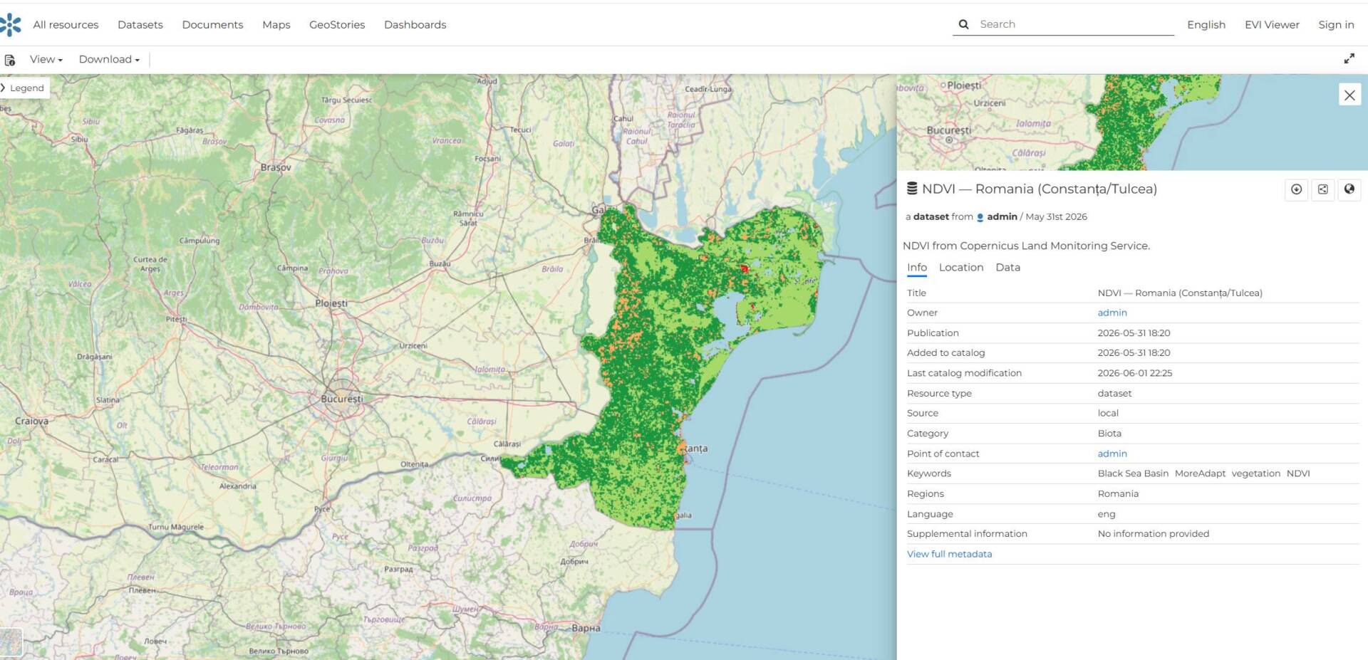
The developed geoportal provides a centralized platform for publishing, visualizing, and managing spatial data collected throughout the project. Through interactive maps and a geospatial resource catalog, users can easily access information about the pilot areas, the results of the conducted analyses, and the project outputs.
The platform facilitates the exchange of spatial data among project partners and provides public access to information generated within the project.
Activities
- Requirements analysis and system design;
- Geoportal architecture design;
- Development of the WebGIS platform;
- Development of a spatial data and metadata catalog;
- Integration of map services and spatial data layers;
- Development of search, visualization, and spatial data access functionalities;
- Testing and optimization;
- Documentation;
- Deployment and warranty support.
Key Features
- Interactive map with spatial data layers;
- Geospatial resource catalog;
- Spatial layer management and visualization;
- Search and filtering of spatial data;
- Access to metadata;
- Public access to map services;
- Extensible architecture allowing the integration of additional spatial resources and services.
Gallery: