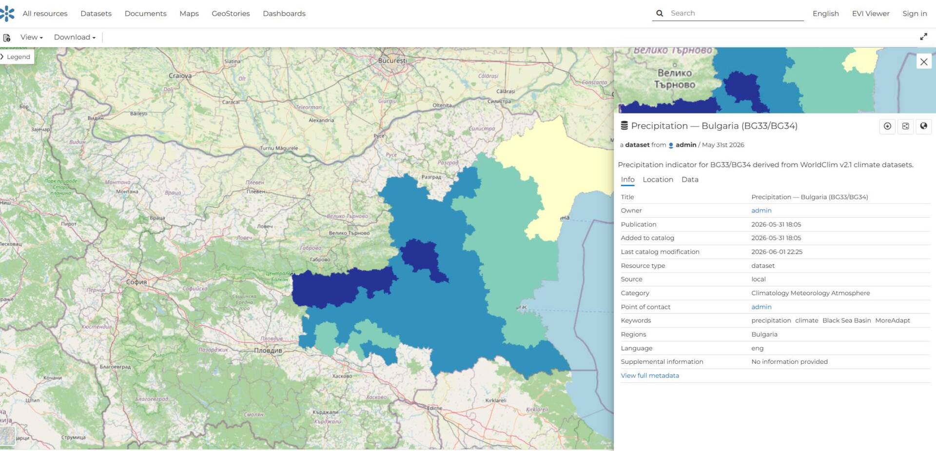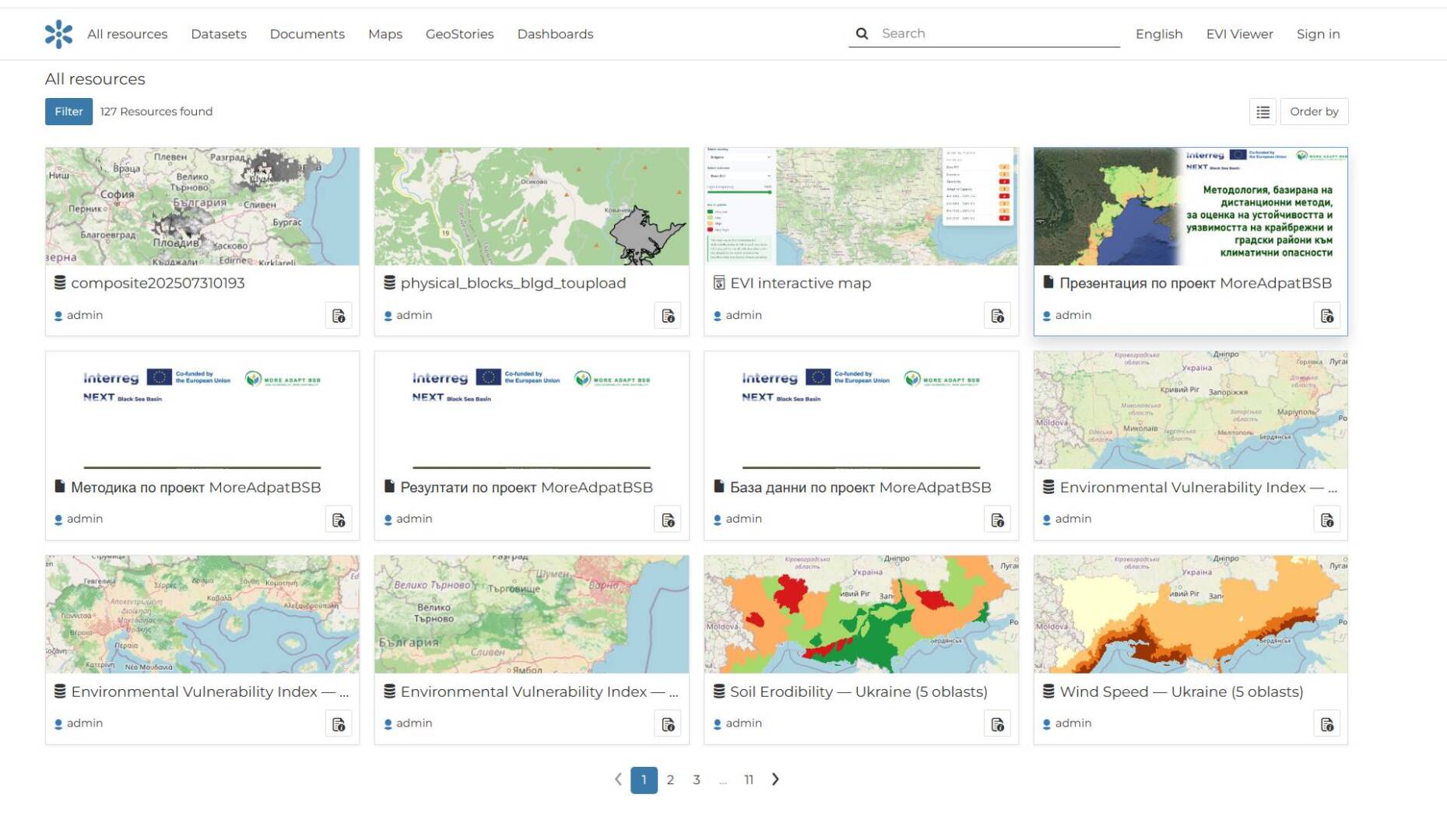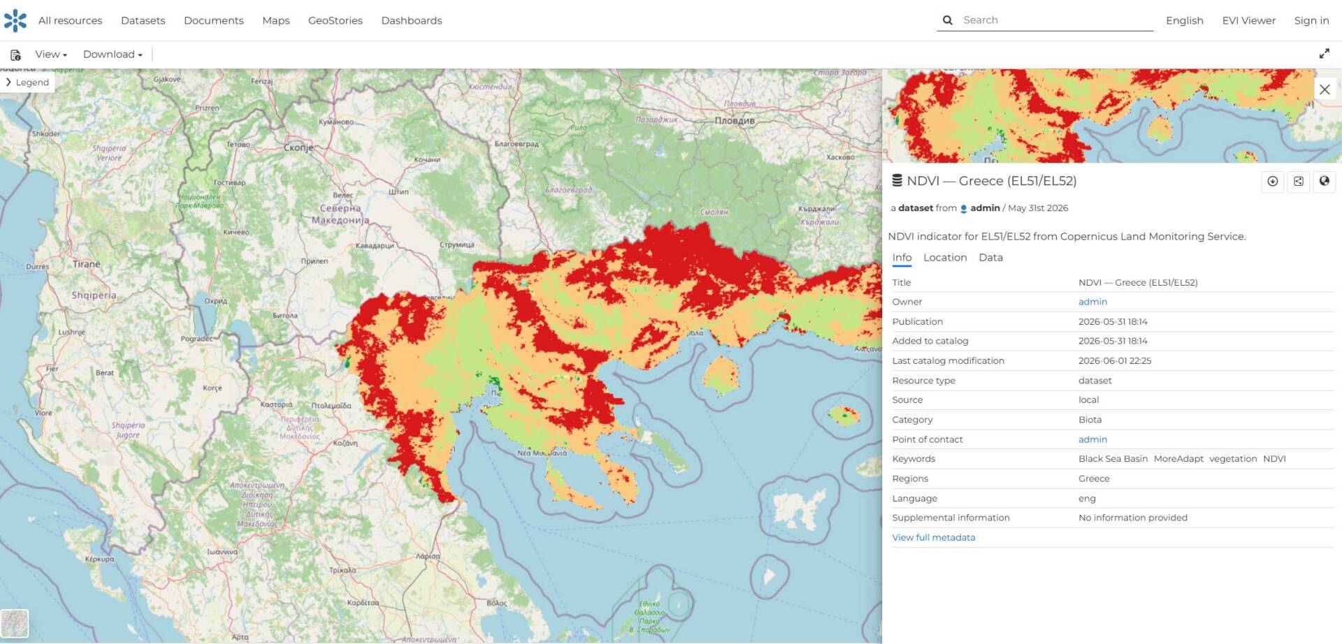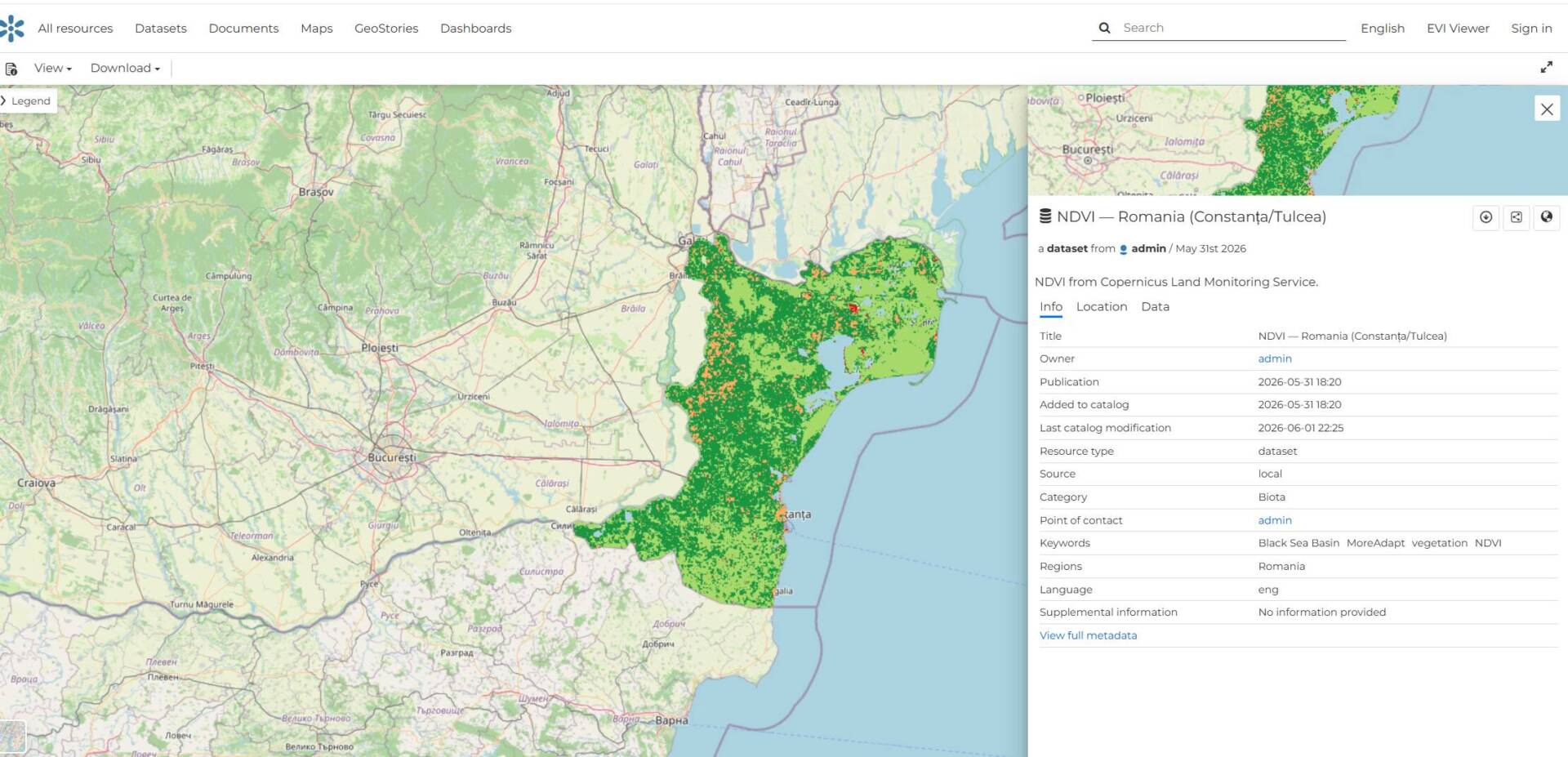
Climate change is having an increasingly significant impact on coastal and urban areas across the Black Sea region. Rising temperatures, coastal erosion, extreme weather events, and the reduction of green spaces require decision-making processes that are supported by reliable spatial data.
To support this effort, the European project MoreAdaptBSB (Less Vulnerability, More Adaptability) has established a shared digital environment for the collection, visualization, and analysis of geospatial information from four countries: Bulgaria, Romania, Greece, and Ukraine.
The project is funded under the Interreg NEXT Black Sea Basin Programme and aims to support the restoration of green areas and climate change adaptation through the use of advanced GIS technologies, remote sensing, and nature-based solutions.
Our team designed and developed the project’s web-based geoportal—a centralized platform that brings together spatial data, map services, and project results within a single integrated information system.
Our primary objective was to create a reliable, intuitive, and user-friendly platform that provides access to geospatial information for both project partners and the wider public.
The developed geoportal provides:
- An interactive WebGIS map with spatial data layers;
- Centralized management and publication of geographic data;
- A catalog of spatial resources and metadata;
- Visualization of pilot areas in each participating country;
- Integration of remote sensing data;
- Easy search, filtering, and viewing of spatial information;
- Public access through a modern web interface.
The platform offers a common digital workspace for international partners and facilitates data exchange among the various organizations participating in the project.
The WebGIS portal has become the project’s primary digital tool for managing and visualizing spatial information. Through this platform, partners from Bulgaria, Romania, Greece, and Ukraine have access to a shared environment for data sharing, monitoring pilot activities, and supporting the planning and implementation of climate adaptation measures.
Beyond supporting project implementation, the geoportal establishes a long-term foundation for the application of geospatial technologies in environmental management and the sustainable development of the Black Sea region.
MoreAdaptBSB is an example of how modern GIS technologies can contribute to addressing real environmental challenges. Through the development of the geoportal, we created a platform that not only visualizes spatial data but also supports experts and institutions in making informed decisions for a more sustainable future.